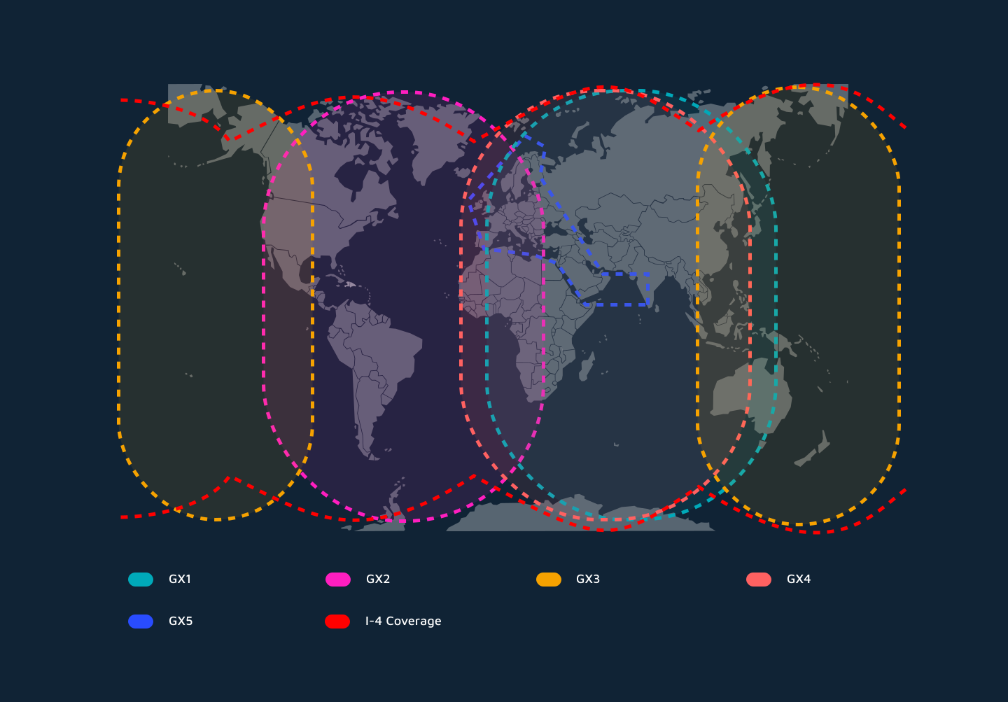
This BGAN network provides global Inmarsat coverage, except at the extreme poles, via three geostationary satellites.
This strategic placement of three geostationary satellites forms the backbone of Inmarsat's BGAN service, enabling its near-global reach. Each of these satellites, hovering approximately 35,786 kilometers (22,236 miles) above the equator, appears stationary from the ground. These Inmarsat coverage regions are commonly referred to as:
I-4 Asia-Pacific: Situated over the Pacific Ocean, extending coverage across Asia, Australia, and the Pacific Rim.
I-4 Americas: Positioned over the Atlantic Ocean, providing coverage to North and South America and the Atlantic Ocean.
I-4 EMEA (Europe, Middle East, Africa): Located over the Indian Ocean, covering Europe, Africa, and a significant portion of Asia.
This fixed position is a significant advantage for BGAN terminals, as it allows them to use compact, lightweight, and often omnidirectional antennas that don't require complex tracking mechanisms. Users can simply set up their terminal, point it generally towards the equator (where the satellite is located in their sky), and establish a connection, making BGAN an ideal solution for rapid deployment in remote or rapidly changing environments.


 EN
 ES